Increasing demand for water
This is true for the Panama Canal Watershed (PCW) in central Panama, which supplies water for the operation of the canal, domestic and industrial uses, and for generation of hydroelectricity. An increasing demand for water due to urbanization and the expansion of the Panama Canal, along with a predicted transition into a dryer climatic period, necessitate a better understanding regarding the effects of land use on energy fluxes and hydrological processes.
Development of an improved hydrological model
As part of a collaborative research supported by the National Science Foundation with the overarching goal “to assess the feedback between hydrology and humans by developing an improved hydrological model coupled with a model of socio-economic behaviour”, we have taken several approaches to measure evapotranspiration across different types of land uses in the Panama Canal Watershed.
These approaches include in-vivo photosynthesis and sap flow measurements in secondary forests of different ages and a shaded coffee plantation, an eddy flux tower in a pasture environment, and two first generation Kipp & Zonen Large Aperture Scintillometers (LAS) measuring across a mosaic of pasture and re-growing secondary forest patches.
Our research sites are located in the 15 km2 Agua Salud study area. Established in 2008, the Agua Salud project is a collaboration between the Smithsonian Tropical Research Institute, the Panama Canal Authority, Panama's Environment Authority and other partners.
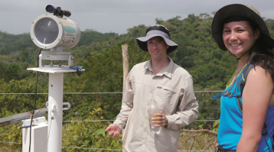
Post-doctorate Mario Bretfeld and intern Laura Lyons during LAS alignment
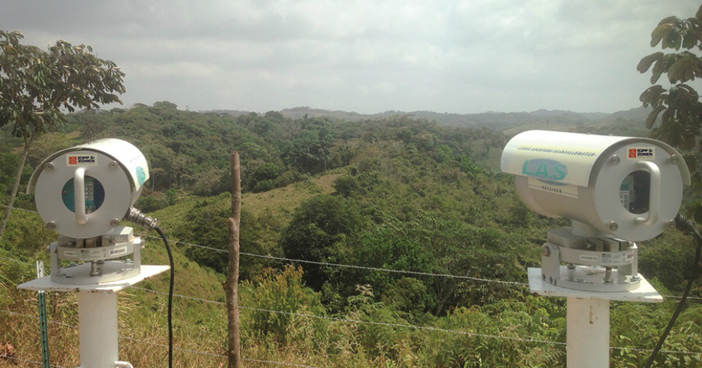
The use of LAS Scintillometers
The main objectives of the scintillometers are: 1) to test the agreement between devices over an identical, long-distance transect spanning multiple land cover types and complex terrain in a high humidity environment, and 2) to provide an additional method and measurement scale to assess evapotranspiration, complementing sap flow and eddy flux measurements.
In February 2016, we installed two scintillometers in parallel, with a receiver and transmitter at each end of a 4217 m transect. Although signal strength was expectedly low, measurements on dry, clear days agree well between the devices (~5% difference) and a comparison of preliminary data for sensible heat flux between scintillometers and the nearby eddy flux tower further confirm the applicability of scintillometers during the dry season in the Panama Canal Watershed, with the added benefit of generally requiring less maintenance than eddy flux systems. However, expectedly, once the rains started in late April, signal strength frequently approached the noise levels of the instruments.
Next steps
Our next objective is to relocate one scintillometer and measure across a shorter transect (~ 2000 m) that traverses a 7 ha watershed currently covered by 25 year old secondary forest, which will be deforested in the next dry season, with the aim to get reliable rainy season data and to detect changes in fluxes from the forest-to-pasture conversion.
www.ctfs.si.edu/aguasalud